Back Home

Start making better decisions today, based on accurate aerial data

Start making better decisions today, based on accurate aerial data

  • Home
  • Services
  • News
  • Contact/Find Us
Home » About Us » Three plans

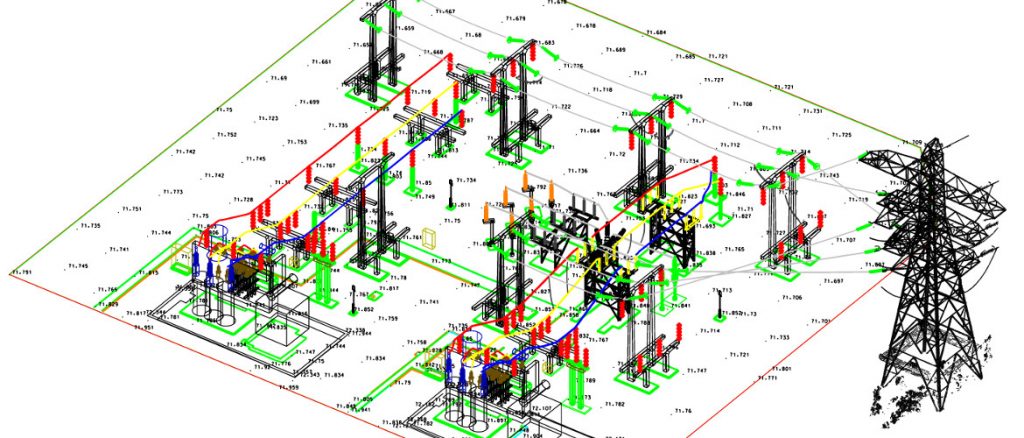
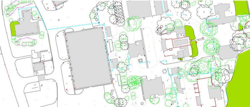
Three plans


← Previous Next →
http://www.aerialinspectionandmapping.co.uk/wp-content/uploads/2016/04/Darlington-North-Plan-Isometric-1-1024x438.jpg http://www.aerialinspectionandmapping.co.uk/wp-content/uploads/2020/03/Eliminate-surveyor-1024x438.jpg http://www.aerialinspectionandmapping.co.uk/wp-content/uploads/2020/03/Three-plans-1024x437.jpg http://www.aerialinspectionandmapping.co.uk/wp-content/uploads/2020/03/TOPO-SURVEY-1-1024x438.jpg http://www.aerialinspectionandmapping.co.uk/wp-content/uploads/2020/03/Wingtra-6-1024x438.jpg http://www.aerialinspectionandmapping.co.uk/wp-content/uploads/2020/03/Ripano-1-1024x438.jpg http://www.aerialinspectionandmapping.co.uk/wp-content/uploads/2020/03/TopoDot-1-1024x438.jpg

Leave a comment Cancel reply

Your email address will not be published. Required fields are marked *

This site uses Akismet to reduce spam. Learn how your comment data is processed.

Contact Us:

3, The Bridge Business Centre, Beresford Way, Chesterfield, Derbyshire S41 9FG 01246 268444

RSS AIMSurveys

  • AIMS take delivery of the 1st Wingtra One PPK in the UK
  • AIMS Joins Mining Surveys (UK)
  • AIMS Works on Last Deep Coal Mine in Britain
  • Multirotor Mapping Drone For Sale
  • About Us
  • Mining Surveys, TLS and AIMS Have Joined Forces
  • LSS Software Now Gives You More Control Over Your Point Cloud Data

· © 2025 AIMSurveys · Designed by Press Customizr · Powered by ·