Back Home

Start making better decisions today, based on accurate aerial data

Start making better decisions today, based on accurate aerial data

  • Home
  • Services
  • News
  • Contact/Find Us
Home » Mining Surveys, TLS and AIMS Have Joined Forces » 20140813_090421

20140813_090421


← Previous Next →
3D laser scanner pointed towards land for surveying
http://www.aerialinspectionandmapping.co.uk/wp-content/uploads/2015/03/20150325_151500edit-1024x438.jpg http://www.aerialinspectionandmapping.co.uk/wp-content/uploads/2016/03/Photo-alignment-angle-1024x377.jpg http://www.aerialinspectionandmapping.co.uk/wp-content/uploads/2016/03/LSS-3D-Quarry-Model-2-1024x594.jpg http://www.aerialinspectionandmapping.co.uk/wp-content/uploads/2016/03/20130529_115728-1024x768.jpg http://www.aerialinspectionandmapping.co.uk/wp-content/uploads/2016/03/waste-tip-1020x1024.jpg http://www.aerialinspectionandmapping.co.uk/wp-content/uploads/2016/03/Photoscan-4-1024x477.png http://www.aerialinspectionandmapping.co.uk/wp-content/uploads/2016/03/20140813_090421-1024x768.jpg http://www.aerialinspectionandmapping.co.uk/wp-content/uploads/2016/03/Erin-Filtered-Vegetation-9-1024x478.jpg http://www.aerialinspectionandmapping.co.uk/wp-content/uploads/2016/03/Civil-Aviation-Authority.jpg

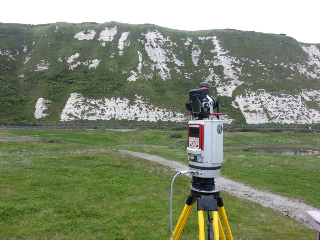
Have any type of terrestrial site surveyed with our long-range scanner

Leave a comment Cancel reply

Your email address will not be published. Required fields are marked *

This site uses Akismet to reduce spam. Learn how your comment data is processed.

Contact Us:

3, The Bridge Business Centre, Beresford Way, Chesterfield, Derbyshire S41 9FG 01246 268444

RSS AIMSurveys

  • AIMS take delivery of the 1st Wingtra One PPK in the UK
  • AIMS Joins Mining Surveys (UK)
  • AIMS Works on Last Deep Coal Mine in Britain
  • Multirotor Mapping Drone For Sale
  • About Us
  • Mining Surveys, TLS and AIMS Have Joined Forces
  • LSS Software Now Gives You More Control Over Your Point Cloud Data

· © 2025 AIMSurveys · Designed by Press Customizr · Powered by ·