A recent Heritage site survey project involved detailed spatial and condition assessments of historic buildings, landscapes, and an archaeological site using technologies that included 3D terrestrial laser scanning, SLAM scanning, aerial LiDAR and photogrammetry both aerial and terrestrial. These surveys created precise digital models (digital twins) and detailed records of a site’s features and surroundings, supporting informed decision-making for development projects and long-term management.
The survey included
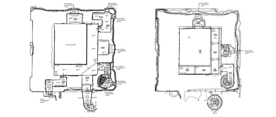
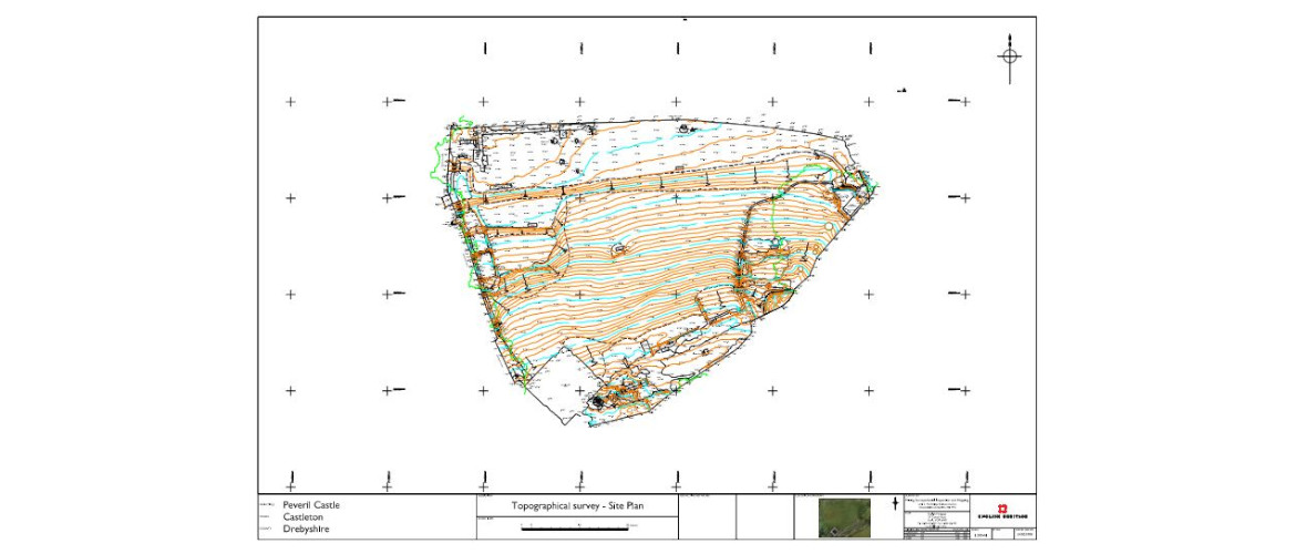
- Measured Building & Topographic Surveys:
High-resolution, spatially accurate recordings of buildings and landscapes using tools like total stations, laser scanning, and photogrammetry to create detailed 2D and 3D models.
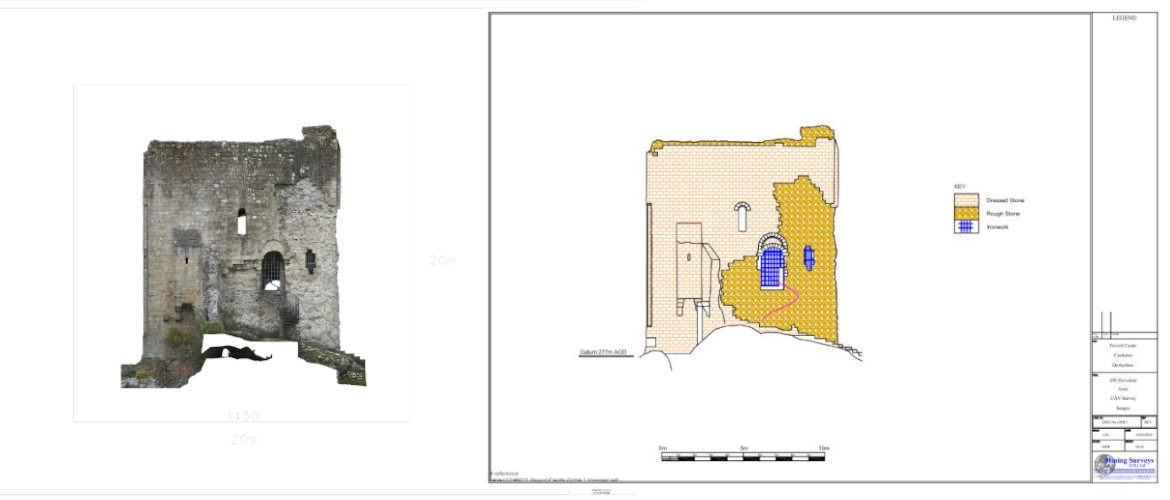
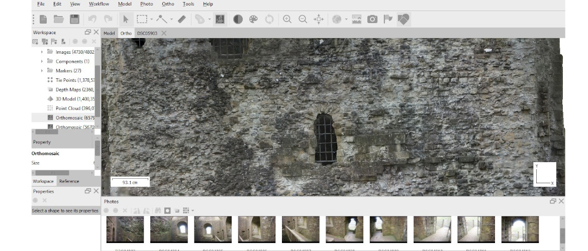
- Condition Surveys:
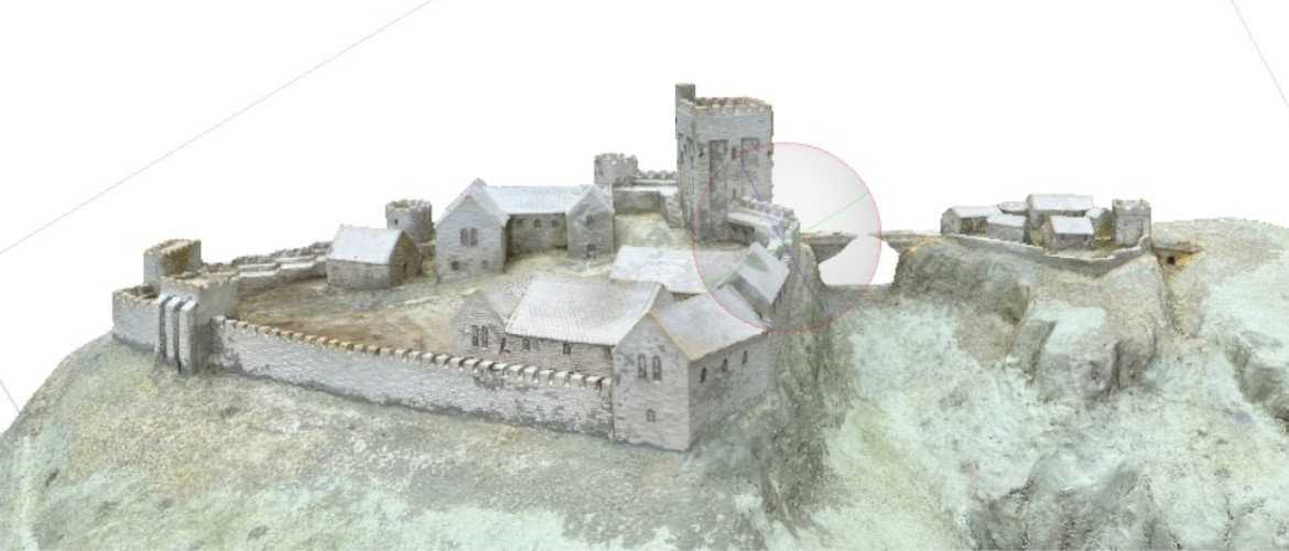
Reality Capture Surveying was used to produce 3D digital twins and ortho-rectified, geo-referenced images to help assess the structural integrity of heritage assets, identify weaknesses, and monitor potential risks to ensure stability during restoration.
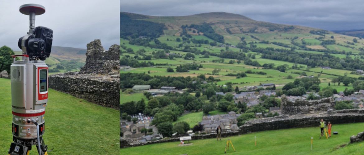
Technologies Used
- 3D Laser Scanning:
Captures highly detailed spatial data to create accurate digital models of intricate architectural features.
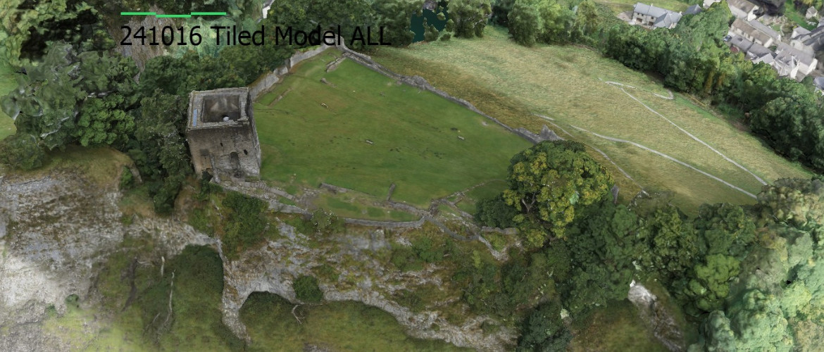
- Photogrammetry:
Uses overlapping photos to create 3D models of sites and objects, including landscapes and small artifacts.
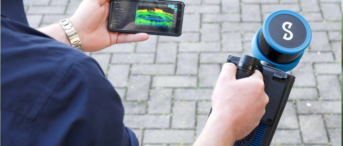
- SLAM Scanning:
Enables data capture in areas impossible to access using other methods and is integrated into the other various surveys.
Used to penetrate vegetation, model the structures and terrain this method for detecting buried features without excavation.
- Total Stations & GPS:
Traditional surveying equipment used to obtain accurate site survey control.