Back Home

Start making better decisions today, based on accurate aerial data

Start making better decisions today, based on accurate aerial data

  • Home
  • Services
  • News
  • Contact/Find Us
‹
›
Home » Private: Surveying and Mapping » Hydrographic Surveys

Recent Posts

  • SLAM vs VZ400i
  • The Best Topographical Surveys.
  • Photogrammetry or LiDAR
  • Measured Building Surveys.
  • Heritage Site Survey Solutions
  • Forest Mapping.
  • Best SLAM Surveys.
  • Reality Capture
  • Land Surveying Large Sites.
  • Cement Plant Surveys.

Services

  • Aerial Surveys
  • Environmental Monitoring
    • Flood Monitoring
    • Land Slide Monitoring
    • Visual Impact
  • Forest Mapping and Mensuration
  • Highway Surveys
  • Infrastructure Inspection
    • Structural Monitoring
  • Measured Building Surveys
  • Photography and Filming
  • Railtrack and Infrastructure
  • Reality Capture
  • Underground Mapping Services
  • Visual Impact
  • Deep Mine Surveys
  • Development Site Surveys
  • Electricity Grids & Distribution Networks
  • Hydrographic Surveys
  • Landfill
  • Oil & Gas Distribution and Infrastructure
  • Opencast Coal
  • Quarry Surveys
  • Stock Surveys
  • Terrestrial Laser Scan Surveys
  • Topographical Surveying

Hydrographic Surveys


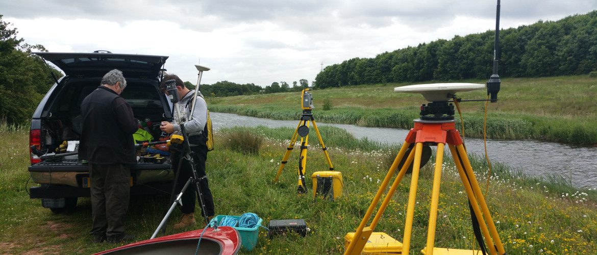
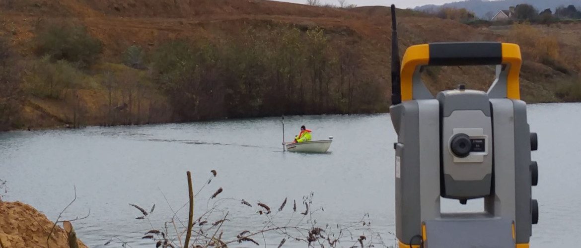
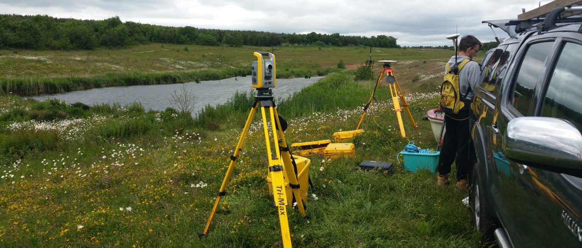
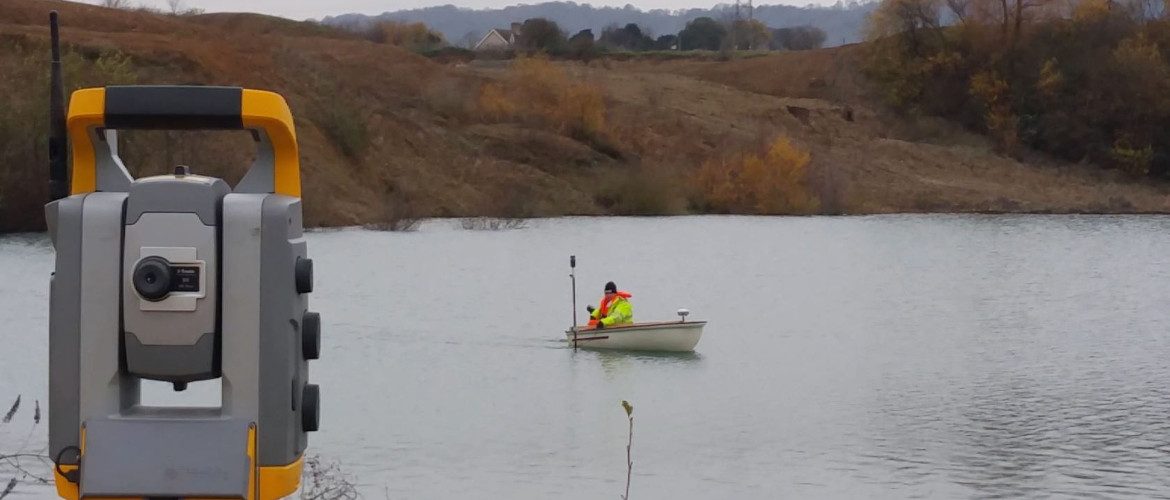
Our surveys are fixed by fully qualified surveyors who are well experienced in Hydrographic Surveys. AIMS keeps up-to-date with the newest equipment and techniques to complete each survey accurately.

Contact Us:

3, The Bridge Business Centre, Beresford Way, Chesterfield, Derbyshire S41 9FG 01246 268444

RSS AIMSurveys

  • SLAM vs VZ400i
  • The Best Topographical Surveys.
  • Photogrammetry or LiDAR
  • Measured Building Surveys.
  • Heritage Site Survey Solutions
  • Forest Mapping.
  • Best SLAM Surveys.
  • Reality Capture
  • Land Surveying Large Sites.
  • Cement Plant Surveys.

· © 2026 AIMSurveys · Designed by Press Customizr · Powered by ·