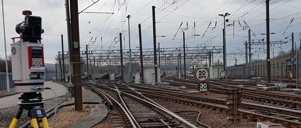
Aerial Inspection and Mapping Surveys is a complete remote, non-contact surveying and mapping solution dedicated to providing a detailed and professional service.
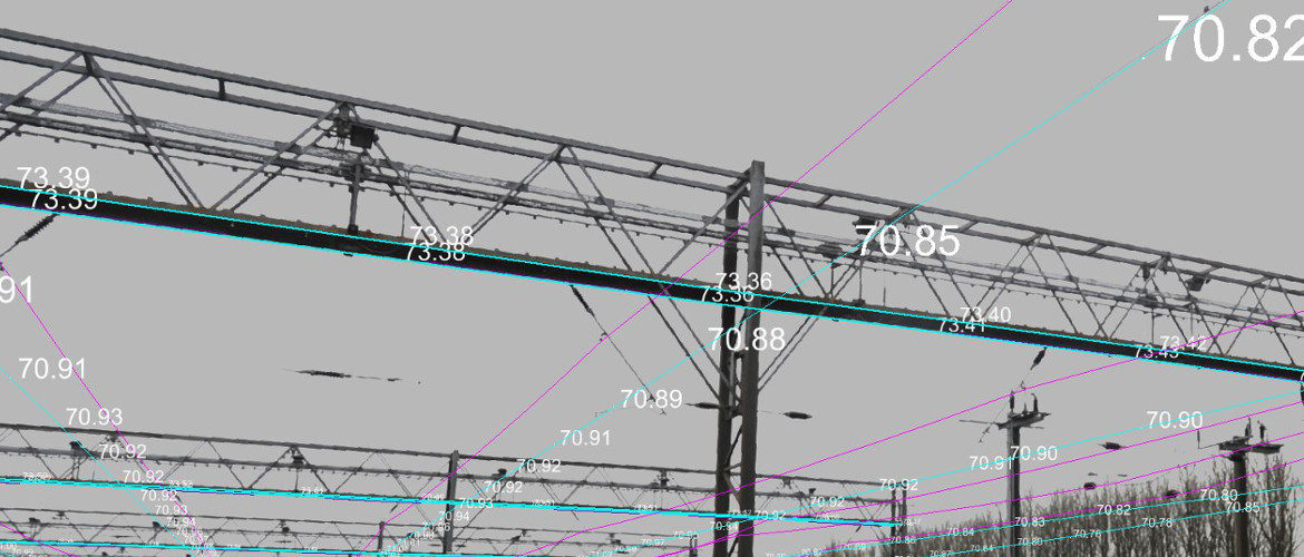
Utilising the world’s number one scanner for the safest and most accurate results.
All our surveyors have Personal Track Safety (PTS) Sentinal cards for work on 3rd and 4th rail.
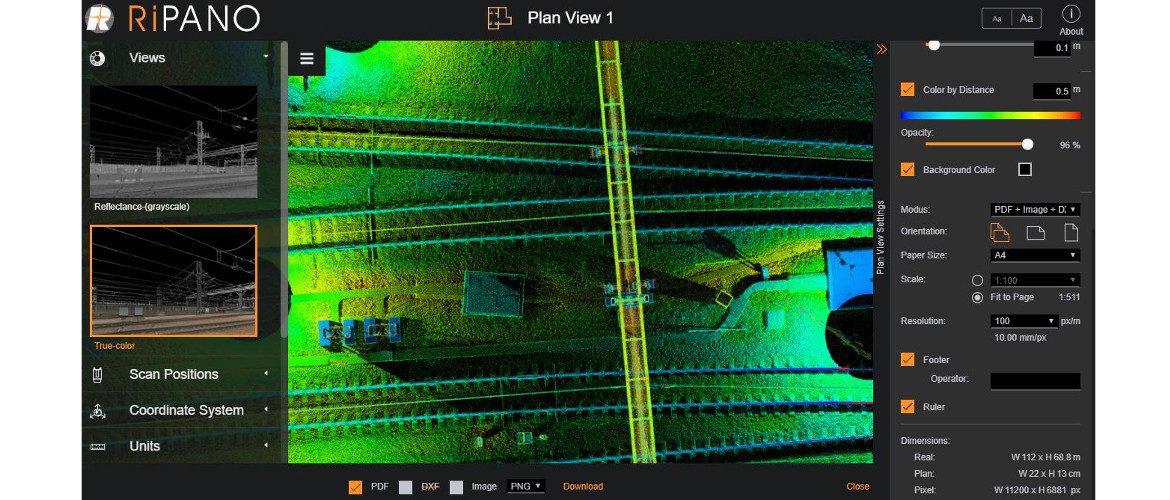
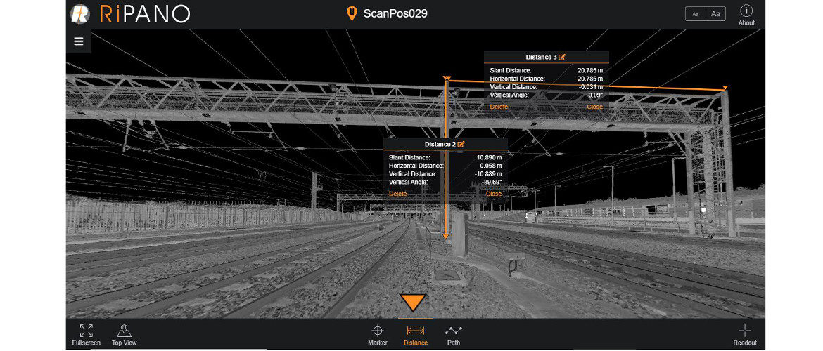
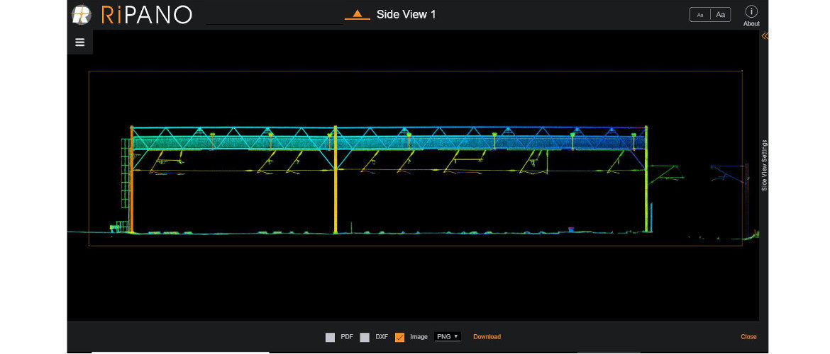
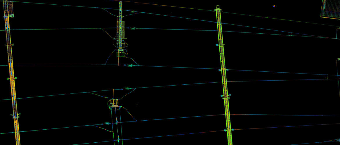
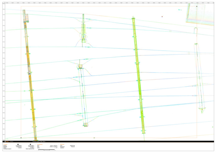
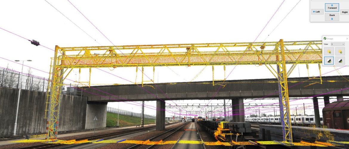
Workflow includes Cloud to CAD through TopoDot, making full use of all calibrated images taken during the survey providing unrivalled quality control.
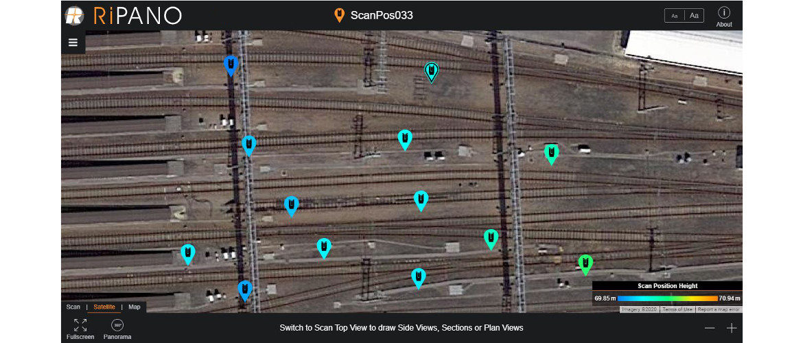
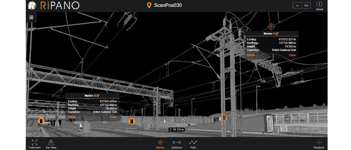
Data out-put and provided in the worlds leading visualisation software, RiPano.