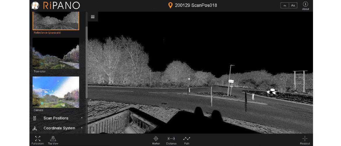
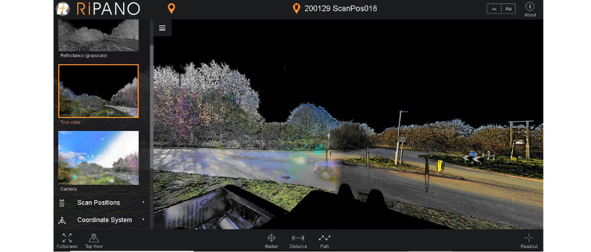
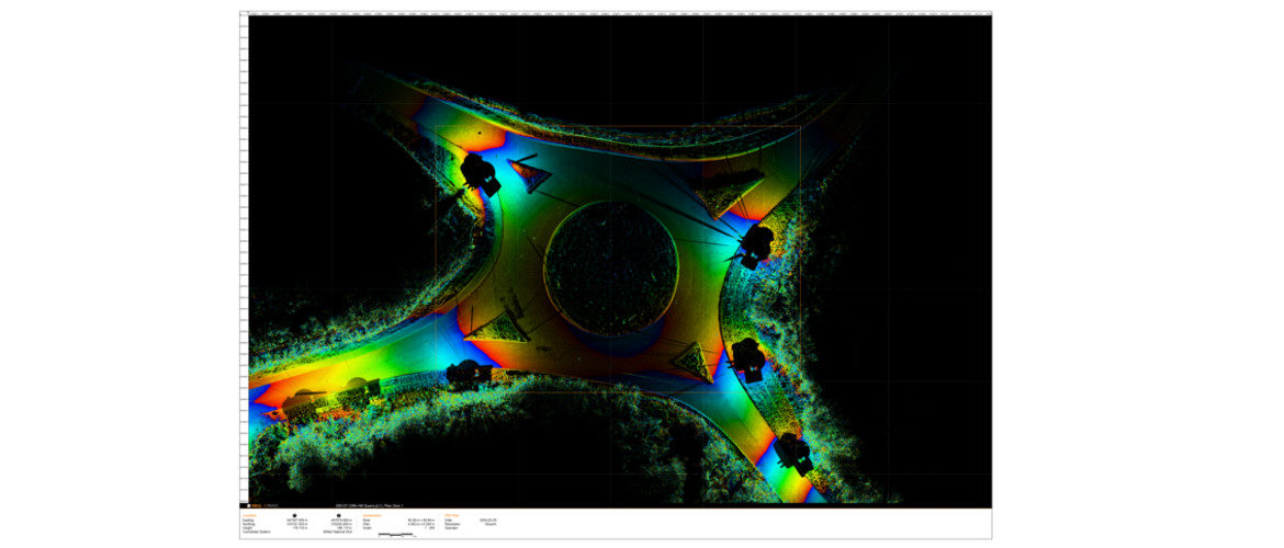
AIMS offers a totally safe remote method of surveying busy highways. Using static terrestrial laser scanners is the most accurate method currently available.
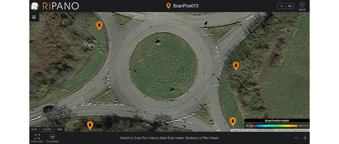
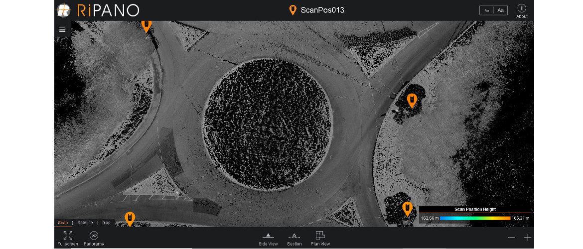
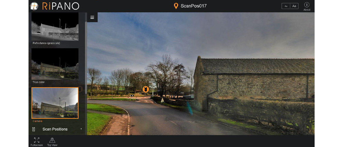
As with all our static terrestrial scan surveys we offer the data in RiPano format which allows our clients full access to a wealth of data. Unprecedented visualisation, much cheaper than a site visit.
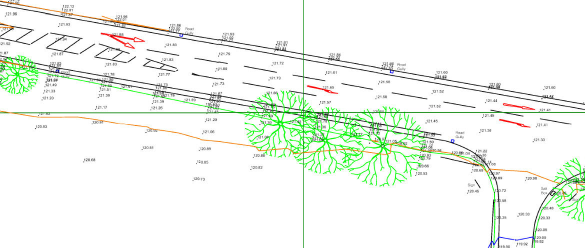
It also allows our Clients the ability to create their own plans, sections and elevations in PDF, JGP or CAD format