Health and Safety is paramount in a quarry and good quarrying companies are enforcing a strict health & safety regime that seeks to reduce or if possible remove the risk to personnel completely.
AIMSurveys offer a remote surveying and mapping solution that can eliminate the need for pedestrian surveyors within the quarry by using Remotely Piloted Unmanned Aerial Vehicles or Ultra Long Range Laser Scanners.
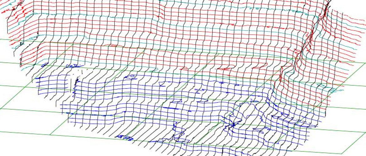
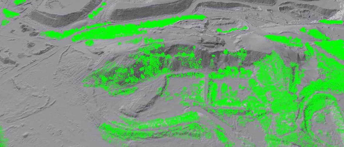
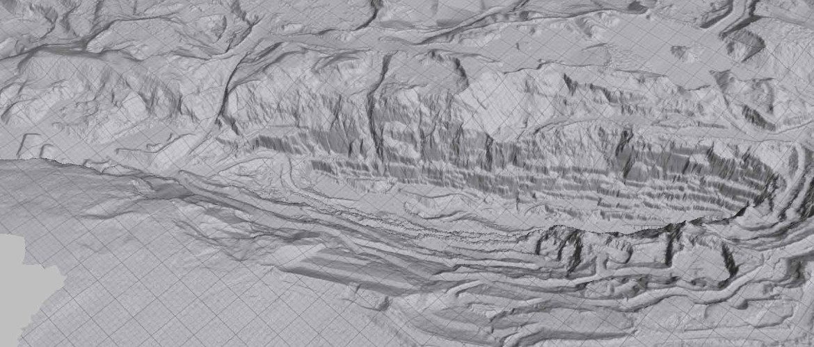
Our Ortho-rectified images and cloud point data can be used in most CAD software packages and now in LSS.
Our friends at LSS have developed an add-on to their existing software that is opening fantastic new opportunities to our clients in the quarrying industry.
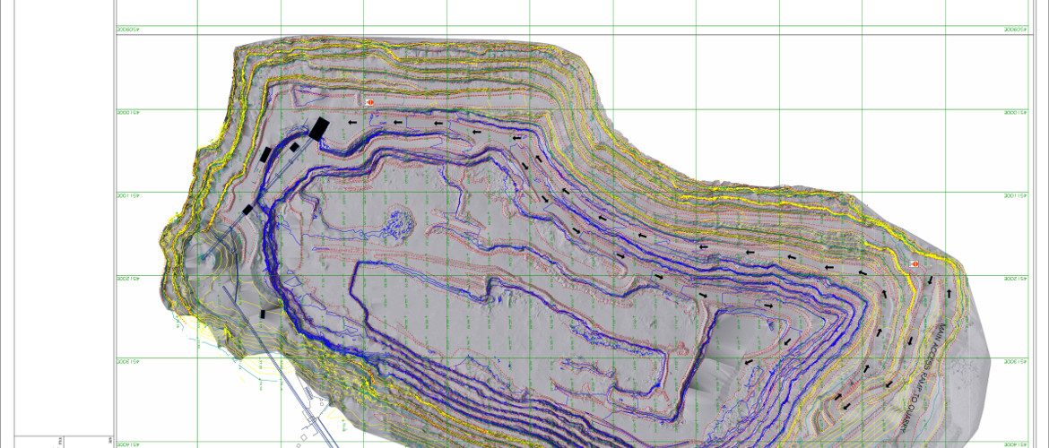
From one survey we now produce laminated high resolution images for use in meetings, 3D PDF’s for a quick overview of the site for people who don’t have access to CAD or LSS, KMZ files so the site can be viewed privately, in Google Earth, in context with its surroundings. We produce virtual 3D models that can be accessed with the software we provide free of charge. We provide LSSPC files that can be used by Geotechnical Engineers to produce their own designs, monitor the quarry faces or calculate volumes.