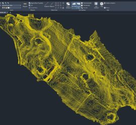
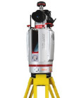
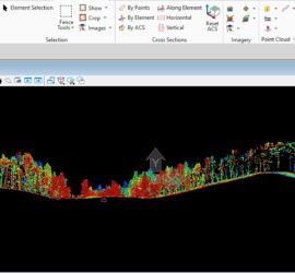
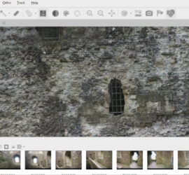
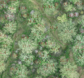
Golf Course Surveying and Mapping
We undertake land surveying of golf courses using advanced technologies like GPS, drones, LiDAR and SLAM technology to create detailed maps for design, maintenance, and management. These surveys provide highly accurate data on topography, features, and vegetation, enabling precise planning for redesigns, drainage, tournaments, and other course-related decisions. The process […]