Start making better decisions today, based on accurate aerial data
Start making better decisions today, based on accurate aerial data
Home
Services
News
Contact/Find Us
‹
›
Home
»
Environmental Monitoring
»
Visual Impact
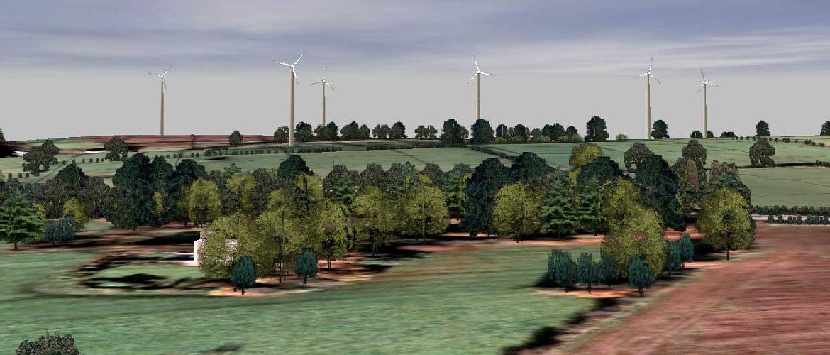
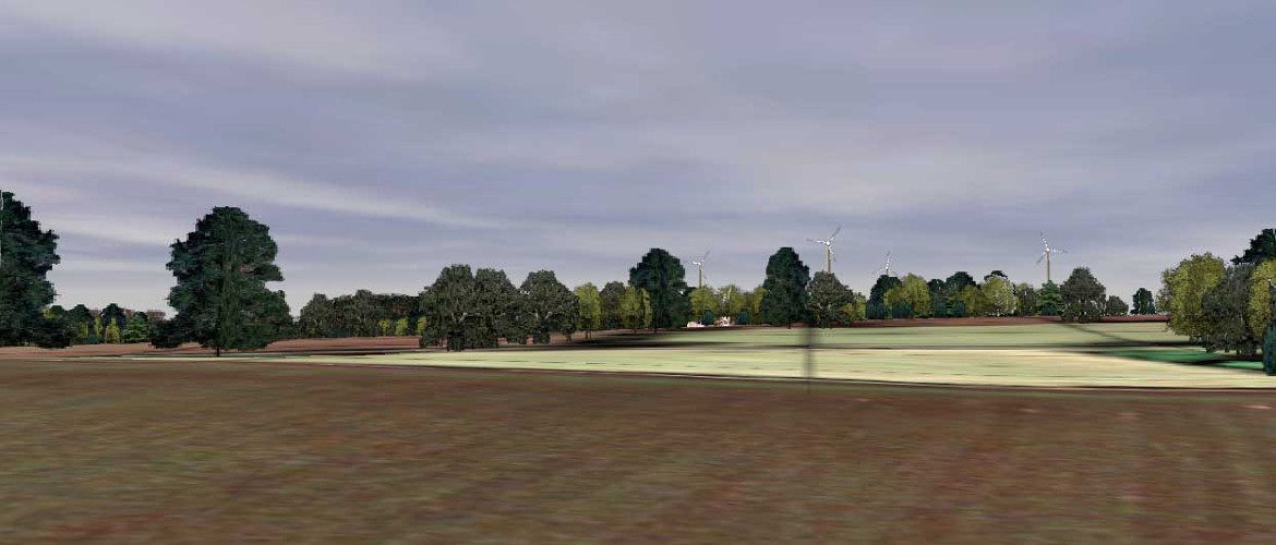
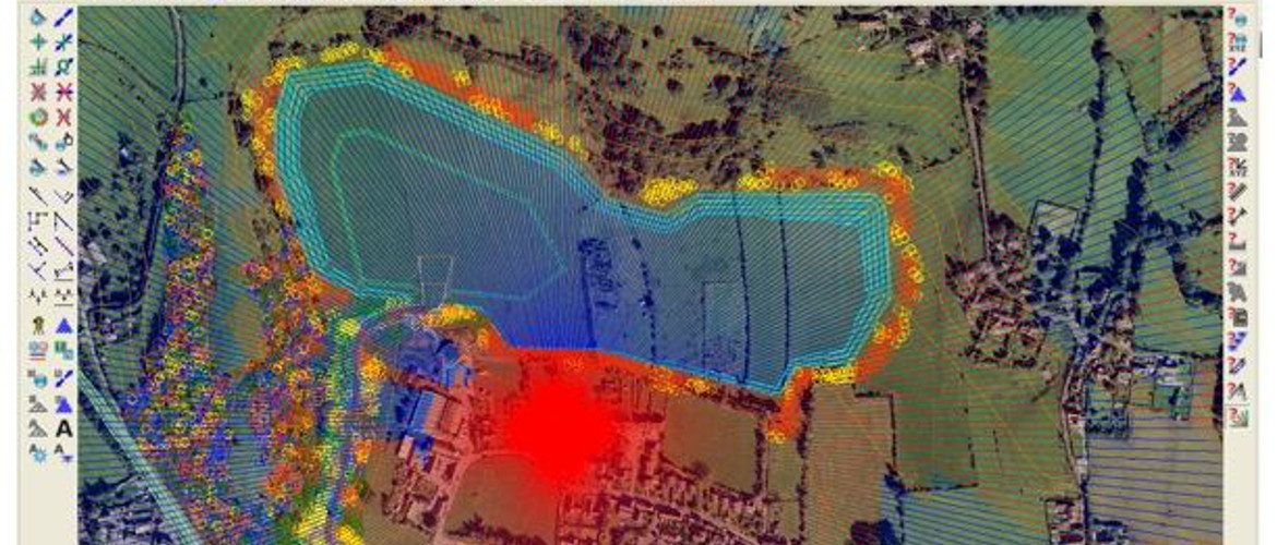
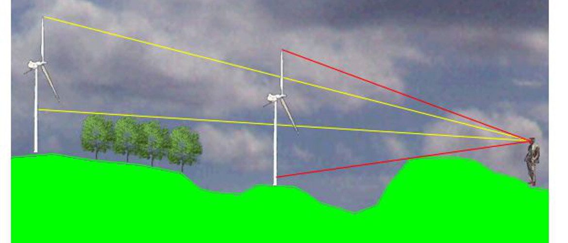
Visual Impact