Back Home

Start making better decisions today, based on accurate aerial data

Start making better decisions today, based on accurate aerial data

  • Home
  • Services
  • News
  • Contact/Find Us
A 3D model of coal stocks with contours overlayed

Stock Surveys

We cover a lot of different mapping and measuring fields, find out more by giving us a call!

...more info

Infrastructure Inspection

We can inspect buildings and other structures for damage where it's difficult or dangerous for people to go

...more info
Xr6 Hexacoptor UAV on the job monitoring for environmental changes

Environmental Monitoring

Monitoring for environmental changes and damage is becoming easier with the use of unmanned aerial vehicles

...more info

Photography & Filming

...more info

Railtrack & Infrastructure surveys

...more info

Highway Surveys

Topographical Surveys

Aerial Surveys

Terrestrial Laser Scan Surveys

Quarry Surveys

Remote Non-contact Electricity Girds & Distribution Networks

Hydrographic Surveys

OLYMPUS DIGITAL CAMERA

Roof Inspection

...more info
‹
›
Home » Services

Recent Posts

  • SLAM vs VZ400i
  • The Best Topographical Surveys.
  • Photogrammetry or LiDAR
  • Measured Building Surveys.
  • Heritage Site Survey Solutions
  • Forest Mapping.
  • Best SLAM Surveys.
  • Reality Capture
  • Land Surveying Large Sites.
  • Cement Plant Surveys.

Services

  • Aerial Surveys
  • Environmental Monitoring
    • Flood Monitoring
    • Land Slide Monitoring
    • Visual Impact
  • Forest Mapping and Mensuration
  • Highway Surveys
  • Infrastructure Inspection
    • Structural Monitoring
  • Measured Building Surveys
  • Photography and Filming
  • Railtrack and Infrastructure
  • Reality Capture
  • Underground Mapping Services
  • Visual Impact
  • Deep Mine Surveys
  • Development Site Surveys
  • Electricity Grids & Distribution Networks
  • Hydrographic Surveys
  • Landfill
  • Oil & Gas Distribution and Infrastructure
  • Opencast Coal
  • Quarry Surveys
  • Stock Surveys
  • Terrestrial Laser Scan Surveys
  • Topographical Surveying

Services


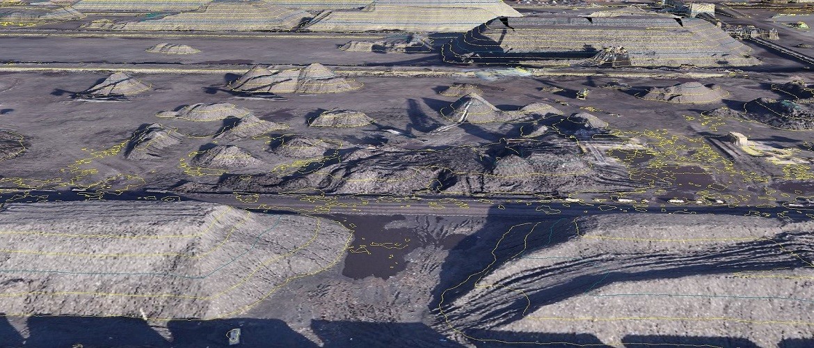
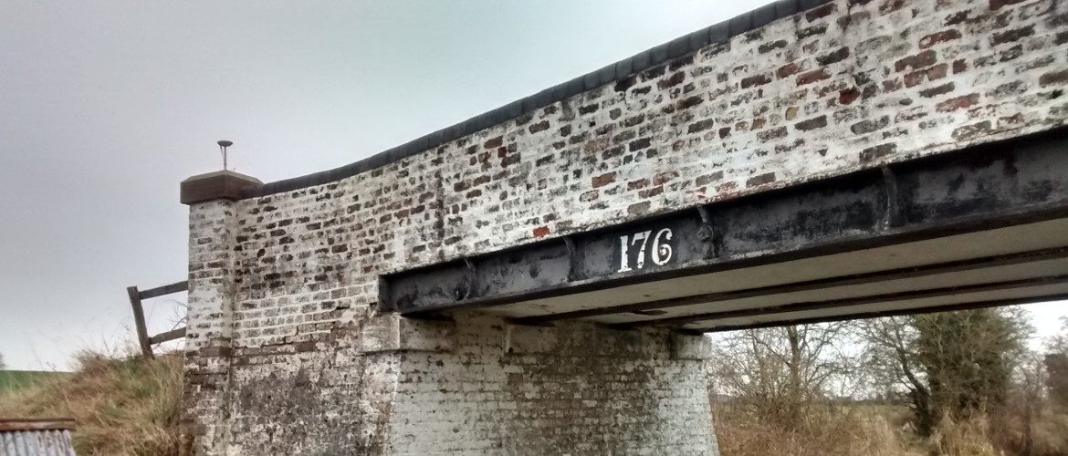
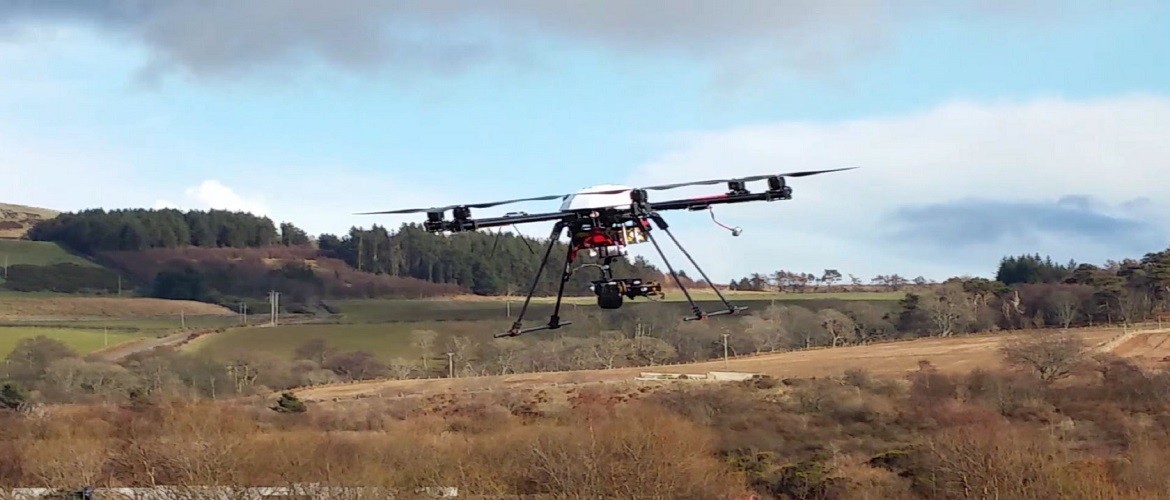
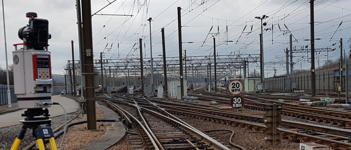
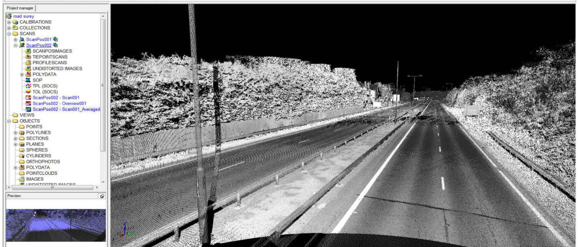
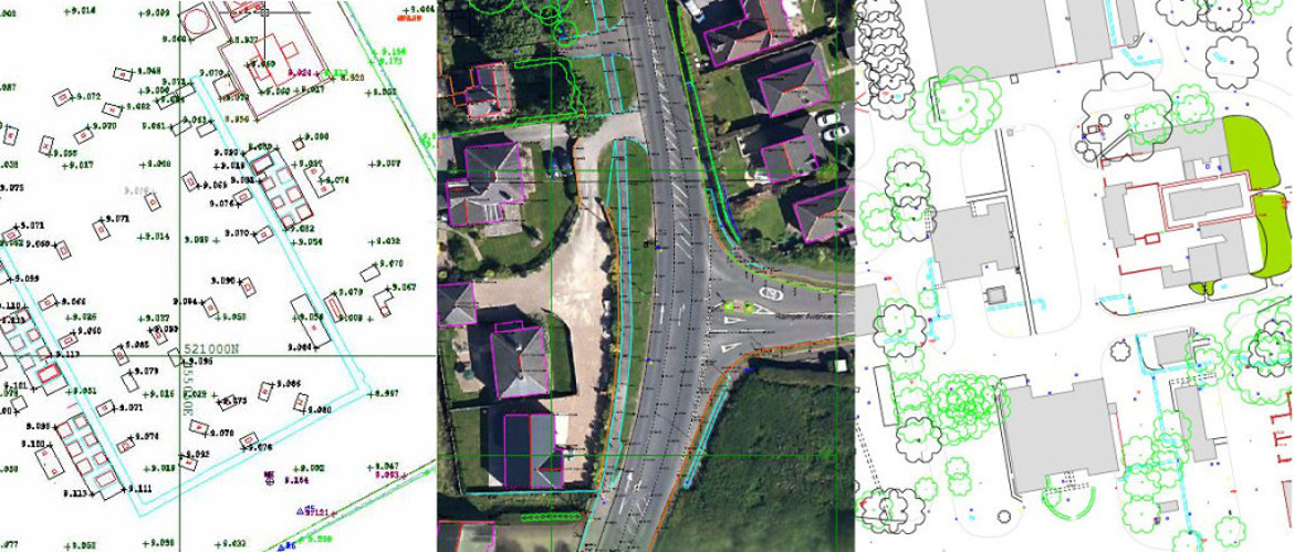
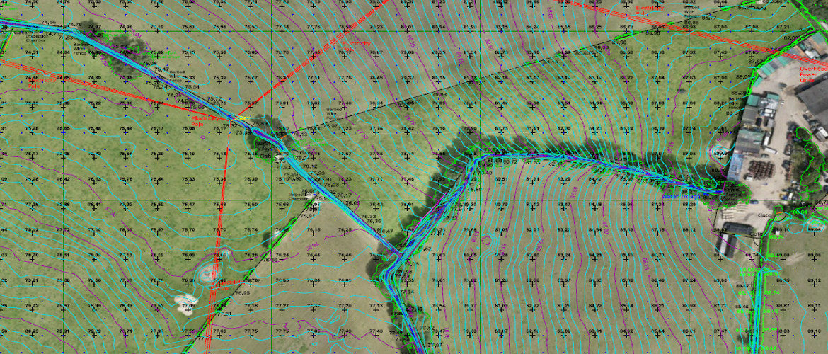
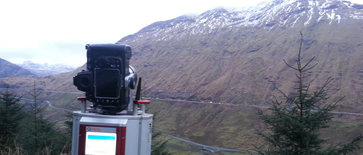
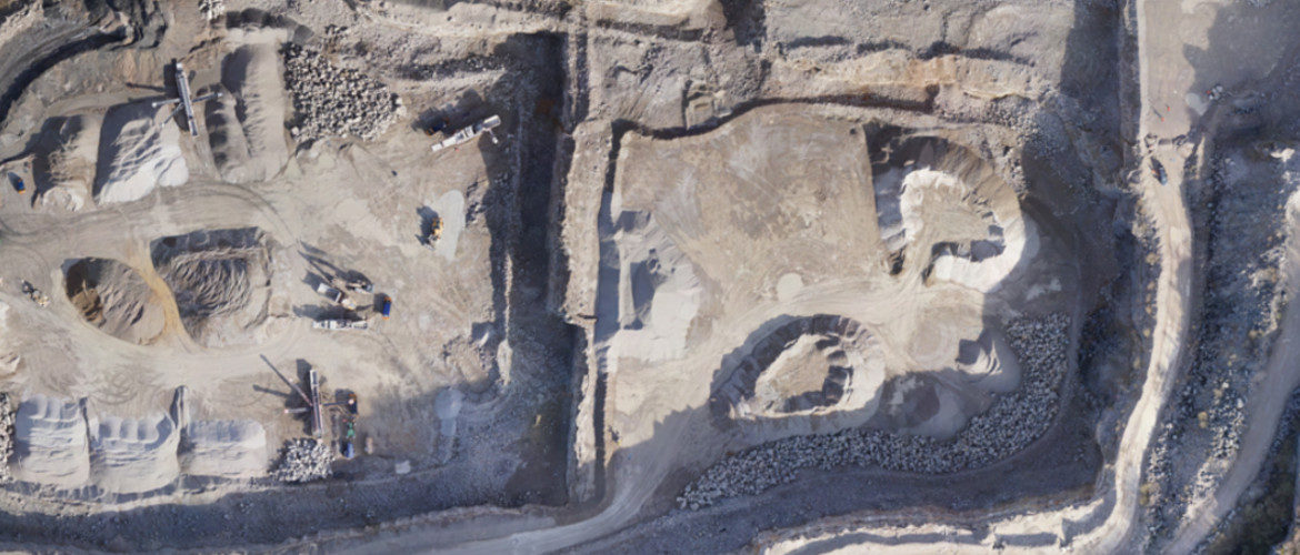
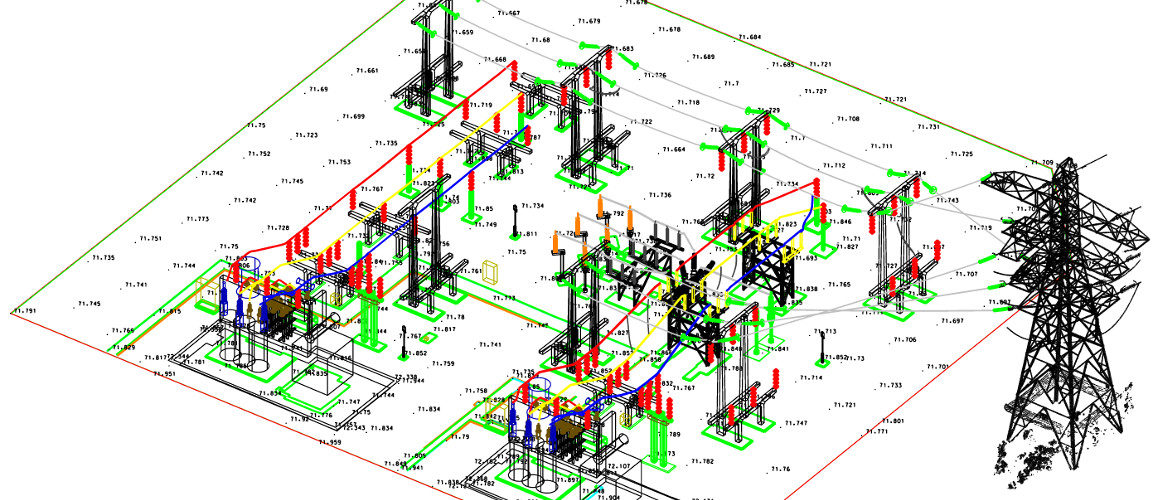
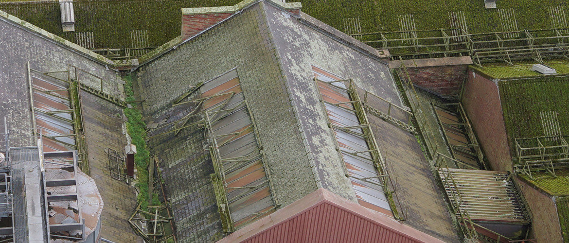
AIMSurveys uses cutting-edge surveying technology to determine three-dimensional position of points in many different types of terrestrial settings. Our surveys are fixed by professional surveyors and are of a high accuracy.

Click on the services available to find out more.

button_photography_and_filming button_infrastructure_inspection button_environmental_monitoring

Contact Us:

3, The Bridge Business Centre, Beresford Way, Chesterfield, Derbyshire S41 9FG 01246 268444

RSS AIMSurveys

  • SLAM vs VZ400i
  • The Best Topographical Surveys.
  • Photogrammetry or LiDAR
  • Measured Building Surveys.
  • Heritage Site Survey Solutions
  • Forest Mapping.
  • Best SLAM Surveys.
  • Reality Capture
  • Land Surveying Large Sites.
  • Cement Plant Surveys.

· © 2026 AIMSurveys · Designed by Press Customizr · Powered by ·