Back Home

Start making better decisions today, based on accurate aerial data

Start making better decisions today, based on accurate aerial data

  • Home
  • Services
  • News
  • Contact/Find Us
‹
›
Home » Environmental Monitoring » Land Slide Monitoring

Recent Posts

  • AIMS take delivery of the 1st Wingtra One PPK in the UK
  • AIMS Joins Mining Surveys (UK)
  • AIMS Works on Last Deep Coal Mine in Britain
  • Multirotor Mapping Drone For Sale
  • About Us
  • Mining Surveys, TLS and AIMS Have Joined Forces
  • LSS Software Now Gives You More Control Over Your Point Cloud Data

Services

  • Aerial Surveys
  • Environmental Monitoring
    • Flood Monitoring
    • Land Slide Monitoring
    • Visual Impact
  • Highway Surveys
  • Infrastructure Inspection
    • Structural Monitoring
  • Photography and Filming
  • Railtrack and Infrastructure
  • Underground Mapping Services
  • Visual Impact
  • Deep Mine Surveys
  • Development Site Surveys
  • Electricity Grids & Distribution Networks
  • Hydrographic Surveys
  • Landfill
  • Oil & Gas Distribution and Infrastructure
  • Opencast Coal
  • Quarry Surveys
  • Stock Surveys
  • Terrestrial Laser Scan Surveys
  • Topographical Surveying

Land Slide Monitoring


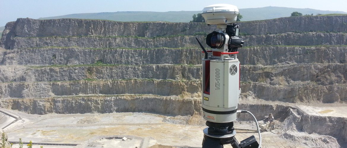
AIMSurveys can use the latest in scanning technology to monitor land slides for good health and safety practice.

Our software can then monitor the displacement during land slides and can identify and measure any slip experienced.

Contact Us:

3, The Bridge Business Centre, Beresford Way, Chesterfield, Derbyshire S41 9FG 01246 268444

RSS AIMSurveys

  • AIMS take delivery of the 1st Wingtra One PPK in the UK
  • AIMS Joins Mining Surveys (UK)
  • AIMS Works on Last Deep Coal Mine in Britain
  • Multirotor Mapping Drone For Sale
  • About Us
  • Mining Surveys, TLS and AIMS Have Joined Forces
  • LSS Software Now Gives You More Control Over Your Point Cloud Data

· © 2025 AIMSurveys · Designed by Press Customizr · Powered by ·