Aerial Inspection and Mapping Surveys is a complete surveying and mapping solution dedicated to providing a detailed and professional service.
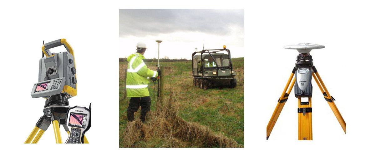
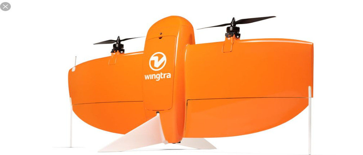
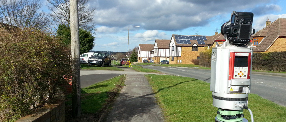
Utilising our fleet of fixed wing and multi rotor drones, terestrial laser and SLAM scanners, for mapping and surveying.
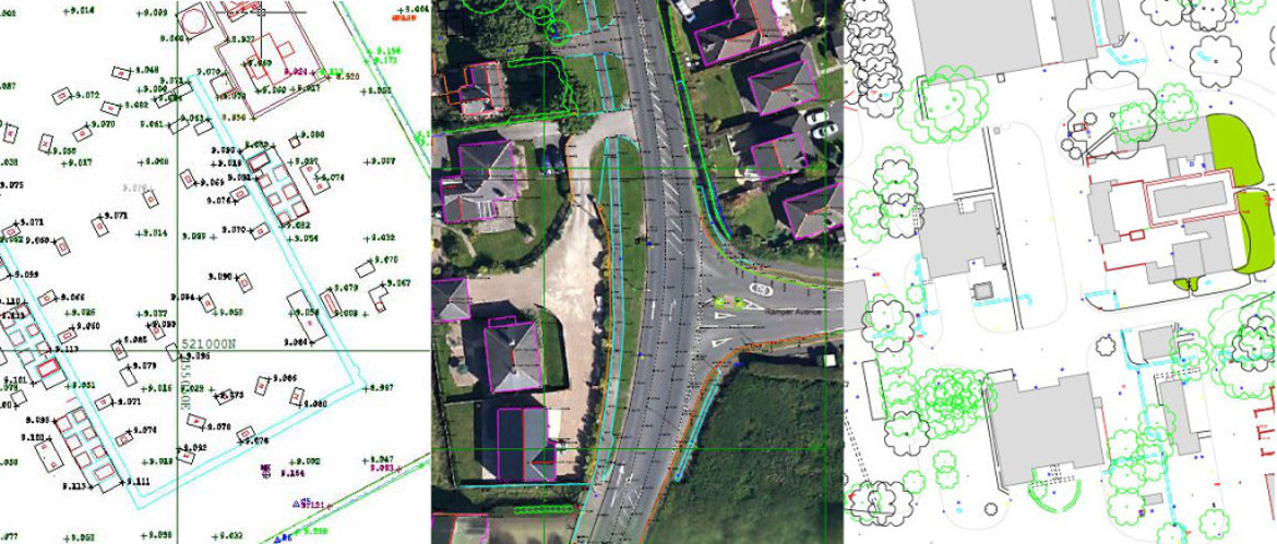
Start making those better decisions with the most detailed and accurate data provided by AIMS in RiPano. Save cost by producing your own plans, sections and elevations. Visualise the cloud point data as reflectance or RGB colour. See a full 360 panorama photo image from each set up on site. Pass this data on to the clients, designers and engineers. Giving full access to all the data in this way has never been done before.